Local Planning Requirements
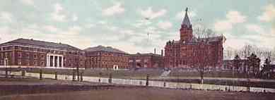
Ga. Tech 1909